DS14

Site code DS14
Location Lugo
Region Galicia
Country Spain
Local name San Pedro de Labio
Partner CIF
Site characteristics
Orientation: SW, Slope:8.0°, Soil :UMBRISOLS, Bedrock : acid to intermediate plutonic rocks
PH :4.6,
Hydrology
plain area in the river Mi
Short History of the site
 copyrigth IEFC network
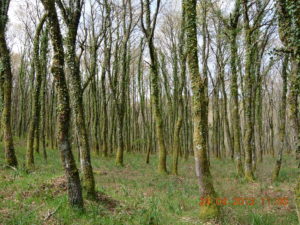
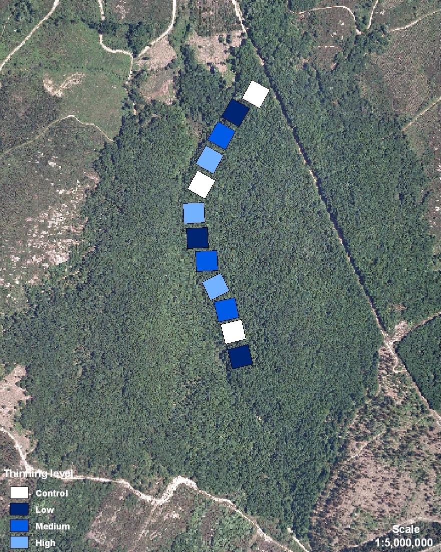
The oakwood area covers 65 ha, surrounded by pine reforestations. It is close to a recreational park area Lagos de Teixeiro. Traditionally, the area is structured as coppice woodland, mainly for fuel extraction purposes. It is also an area for game hunting, mainly roe deer and wild boar. DS14 is placed on a private land. The land is owned and managed by the Neighborhood Forest of San Pedro de Labio, typical of Galician culture. All the forest area belongs to a territorial demarcation, parroquia, which joins all the neighborhood members. Each citizen owns a percentage of the whole indivisible forest area and the management must be agreed with all the members of the community by a common consent. In Galicia, this way of forest property is called Neighborhood Forest in Common Hand. The stand shows an even-aged oak canopy covering an understory mainly with heaths and other shrubs as alder buckthorn and bilberries. Thinning treatments were applied in 1999. Initially, this even aged tree stand showed the following characteristics: Age (38 years), Mean DBH (15.8 cm), Mean Height (12.5 m), Density (1028 tree/ha).
El robledal ocupa una superficie de 65 ha, cerca del área recreativa de los Lagos de Teixeiro. El área circundante está ocupada por repoblaciones de pinos. Tradicionalmente se maneja como monte bajo para extracción de leñas. En la zona también se practica la caza mayor, principalmente de corzo y jabalí. DS14 está situado en terreno de propiedad privada. La tierra pertenece y está manejada por la Comunidad de Monte Vecinal en Mano Común de San Pedro de Labio, régimen típico de Galicia. El área forestal pertenece a una demarcación territorial, la parroquia, que aglutina a todos los vecinos. Cada vecino posee un porcentaje indivisible del monte y las decisiones se toman de común acuerdo entre todos los miembros. El área experimental está ocupada por una masa regular de roble que cubre un sotobosque heterogéneo formado por brezos y otros arbustos como arraclanes y arándanos. Los tratamientos de claras se hicieron en 1999. Esta masa regular presentaba inicialmente las siguientes características: Edad (38 años), Diámetro normal (15.8 cm), Altura media (12.5 m), Densidad (1028 pies/ha).
